Glacier expert Willis named to Arctic mapping team
By Blaine Friedlander
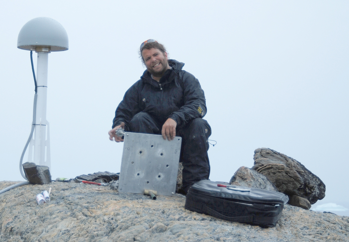
Michael Willis, Cornell earth and atmospheric sciences research associate, has been named to the ArcticDEM scientific team that will – for the first time – create high-resolution topographical Arctic maps. President Obama announced the project – funded by the National Science Foundation and the National Geospatial-Intelligence Agency – on his trip to Alaska Sept. 2.
“This project will provide a state-of-the-art topography baseline against which future measurements of the Arctic can be compared. The Arctic will go from being one of the most poorly mapped regions on the planet to one of the most detailed, in one revolutionary step,” said Willis. “The impact of this work has the potential to go beyond even the sort of large-regional investigations that we typically do. This new work is a large, collaborative effort that requires supercomputing facilities, access to very high-resolution satellite imagery, patience and vision.”
Composed of researchers from Cornell, the University of Minnesota–Twin Cities and Ohio State University, the ArcticDEM project, which stands for Arctic Digital Elevation Models and is funded for $420,000.
“The digital elevation models we will produce can be used as a baseline against which any changes can be compared. They really are stunning in their detail compared to almost anything previously produced,” Willis said.
In addition to experiencing climate change transformations, Alaska and the Arctic region lack modern maps necessary to support infrastructure concerns, such as ground and air transportation, recreation, land management, and sustainable development, according to a White House statement.
Willis conducts research on land-based ice and changing sea levels. He uses remote sensing and geodetic tools to examine ice sheets, ice fields and glaciers around the globe, researching changes in thickness, mass and the speed at which they grow or recede.
Earlier this year, Willis reported in Nature that meltwater from the surface of an ice cap in northeastern Greenland can wend its way beneath the ice and become trapped, refilling subglacial lakes. This meltwater provides heat to the bottom of the ice sheet, and the research provided new data about atmospheric warming and its affect on ice bases.
Three years ago, Willis and others – using digital elevation models – reported the Southern Patagonian Ice Field lost ice volume at a 50 percent faster rate between 2000-12 than it did between 1975-2000.
Media Contact
Get Cornell news delivered right to your inbox.
Subscribe