Cornell researchers map wind to better harvest energy
By Blaine Friedlander
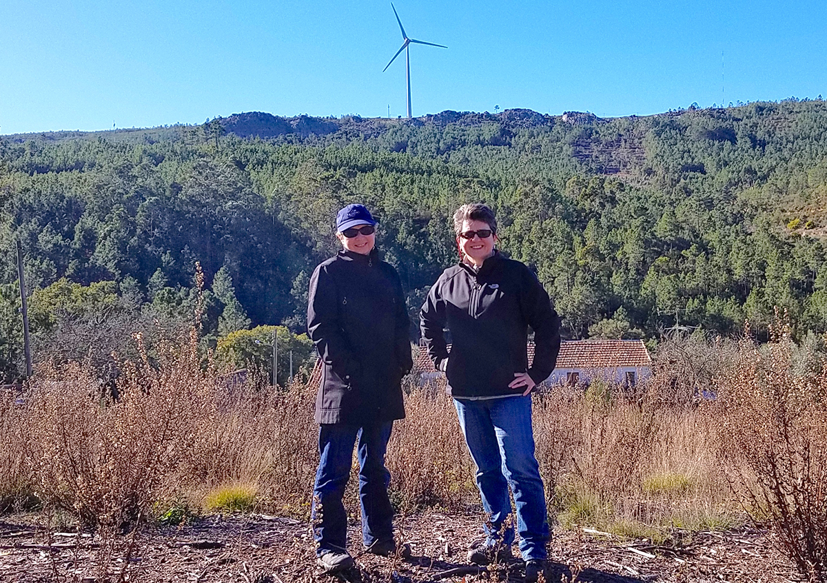
Cornell scientists and engineers, working with international teams, are seeing wind in high resolution. They are creating the world’s largest, most-detailed wind maps ever in the picturesque hills of Perdigão, Portugal. This research aims to find how wind and turbulence behave in intricate terrain.
“It’s our moonshot,” said Sara C. Pryor, professor of earth and atmospheric sciences and co-principal investigator on the Perdigão wind project. “In terms of complex terrain, there’s never been such an intensive effort, since it involves such a massive deployment of instrumentation and numerical model simulations that it is unlikely to be repeated.”
The work is anything but a breeze, as international teams have set up 27 LIDAR (light detection and ranging sensors) – four belong to Cornell – and 47 meteorological masts, some as tall as 100 meters. Using LIDAR, laser light is sent into the atmosphere, and by measuring the backscattered light, the instrument can deduce accurate wind speed. To get a sense of scale, large wind research projects in the United States typically make do with a single LIDAR or mast, due to expense.
“Atmospheric flow through complex terrain is difficult to simulate due to the small scales of mountains, hills and the dependence of wind on a variety of factors, such as the temperature structure of the air near the ground,” said Rebecca Barthelmie, professor in the Sibley School of Mechanical and Aerospace Engineering and principal investigator. “Understanding flow is key to wind energy, air pollution, aviation and contaminant dispersion, we expect to have a data set that will be used by numerical modelers for many years to come.”
The Cornell work brings a basic research component to the Perdigão effort. It focuses on examining interaction between wind flows at different scales, the effects of topography and heat forcing, understanding valley and mountain slope layers, as well as turbine wakes, Barthelmie said.
Pryor explained the research will help to select and site wind turbines in complex terrain. The more turbulence, the harder on the turbine. This will help determine specific classes of turbines for specific terrain.
When the research is completed, turbine manufacturers will be able to design efficient blades and site planners will, quite literally, streamline energy.
While international in scope, the Perdigão research can be applied directly to the United States; the National Science Foundation funds the U.S. portion of the project.
Wind could account for up to one-third of the world’s electricity by 2050, said the professors. Further, previous work by Barthelmie and Pryor has shown the use of aggressive wind turbine deployment could delay a 2-degree Celsius average global temperature warming by up to 10 years or avoid that threshold altogether. “In the northeastern U.S., we are harnessing less than 10 percent of what’s possible,” said Pryor. “We could go a level of magnitude bigger in this country in terms of renewable electricity generation.”
The Cornell Galion LIDAR assesses wind speeds in three dimensions and captures other wind data, while the ZephIR and SpiDAR LIDAR systems from Barthelmie’s lab measure the profile of wind speeds, turbulence and wind shear. In addition to LIDARs, the Cornell team deployed sonic anemomete, barometers and seismometers at Perdigão in January.
“If you want your lights on in 20 years, we need to move forward with wind energy,” Barthelmie said.
Media Contact
Get Cornell news delivered right to your inbox.
Subscribe